The next time you are driving or walking on a trail, notice how the path will follow gradual slopes going around mountains and through passes to avoid steep slopes. This is because the designers used a terrain model that included slope in planning the path. Slope rasters can be computed from DEMs.
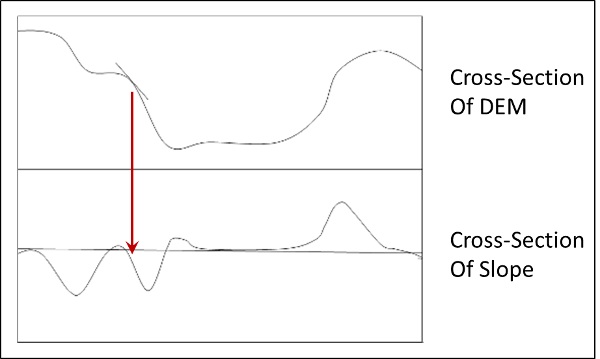
In the image below, the top section represents a cross-section through a DEM. The bottom section is the slope of the DEM at each of the points along the cross section. If we move from left to right, the slope starts out close to zero because the elevation is very flat, as shown in the DEM. Then, the land drops in elevation and the slope goes negative. As the land flattens out, the slope comes back to zero and then starts to go negative again as the land slopes off (indicated by the read arrow). As we move all the way across the DEM, the land begins to go up again and the slope then goes positive.
ArcMap computes the pixels in a slope raster by fitting a plane (flat surface) through the 3x3 grid of pixels around the target pixel.
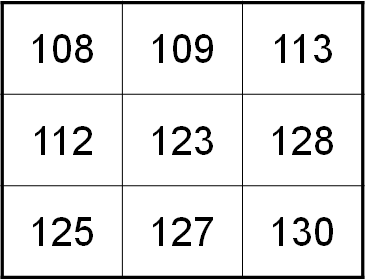
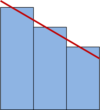
If we look at the grid of pixels above in a cross-section, we can see that the slope is computed by putting a line through the pixels. The angle of this line is then the "slope" value that is put into the pixel in the center of the 3x3 grid.
There are two common units for slope, percent and degrees. These are often confused. Slope in percent has a range from 0 to infinity (not 100%).
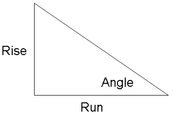
Slope in degrees has a range from 0 to 90 and is computed using:
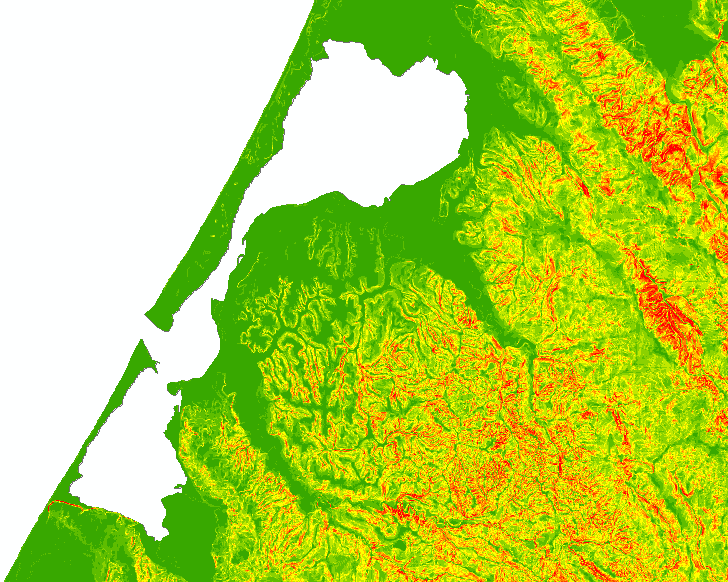
The raster below shows the slope of the land around Humboldt Bay. The red areas are steep slope and the green are flat areas.
© Copyright 2018 HSU - All rights reserved.